
Mapping a Hampden Township Street
A Hampden Township street directory works best as an address trail. Begin with a specific street number and street name in the County Property Mapper. The result identifies a parcel and selected assessment information, not everyone who may live there. Take the parcel/PIN and legal description to the Recorder’s index, then compare recorded grantor and grantee parties with the same land description. Voter and historic-directory sources have different legal and access limits. They can support a careful inquiry, but none turns a street into a public household roster.
Parcel boundaries matter along a road. An address can be renumbered, split, joined, or paired with a mailing label that does not describe the municipality. The property address, parcel/PIN, legal description, and recorded document should agree before a street directory search treats an owner or transaction as a match.
- Enter the address or PIN in Cumberland County Property Mapper and record the parcel identifiers.
- Zoom out while keeping parcel boundaries visible, then select nearby parcels one at a time for the same street context.
- Use the Recorder and Landex access route to locate recorded transaction parties that match the parcel’s legal description.
- For an individual voter question, use the state status tool or ask Cumberland Elections about its supervised-inspection process.
- For a historical household question, request a confirmed CCHS or County Archives collection instead of assuming a reverse directory exists.
Hampden Township Property Mapper
Cumberland’s public Property Mapper is the confirmed address and parcel locator for a Hampden Township street directory search. The county describes it as an internet tax-mapping application. It can locate an address, identify selected assessment data, show property features, compare sales prices, and print a map with selected assessment data. The map does not confirm an owner-name search, a current occupier, or every tax mailing address. Keep the result grounded in the query that the public guide actually confirms.
| Mapper field or control | Use for a street search |
|---|---|
| Search Bar | Enter a street number plus street name, or a parcel/PIN. |
| Locate Me | Optional device-location action that produces a blue dot on compatible devices. |
| Parcel selection | Click a parcel to open the selected assessment panel. |
| Create a map and selected assessment-data document. | |
| Imagery | Use the advertised 2024 default or one of seven prior imagery years for context. |
Hampden Township Street Map Prints
The mapper’s print control can create a document with a map and selected assessment data. Save it as a working reference with the query date, not as proof of residency. A useful street directory record packet keeps the printed parcel view beside the PIN, street address, legal description, and the date of each recorded-document search. This preserves the reason a particular parcel was selected and makes it easier to detect a later mismatch in the deed chain.
Imagery can add physical context. Cumberland advertises the 2024 image as its default and seven prior imagery years, which may help distinguish building changes or parcel context across time. It cannot identify a household or establish the date that a person moved. The county’s selected panel, print widget, and historical imagery are map tools. Use the Recorder, Tax Assessment, Elections office, or historical repositories when the question moves beyond the land itself.
Record the selected parcel’s legal description with the printout. It is the durable link between a street search and the recorded land trail.
Hampden Township Parcel Views
Street-by-street research is clearer when the map is used to view a sequence of parcel geometries rather than to infer a neighborhood from a single pin. Click the address parcel, zoom out, and select each nearby geometry as needed. The county confirms click-to-select and map navigation. It did not document a dedicated street browse, radius, buffer, or neighbor control in the research, so no such feature should be assumed.
The county’s Map Services guidance describes the address/PIN search, parcel panel, print function, and imagery access.
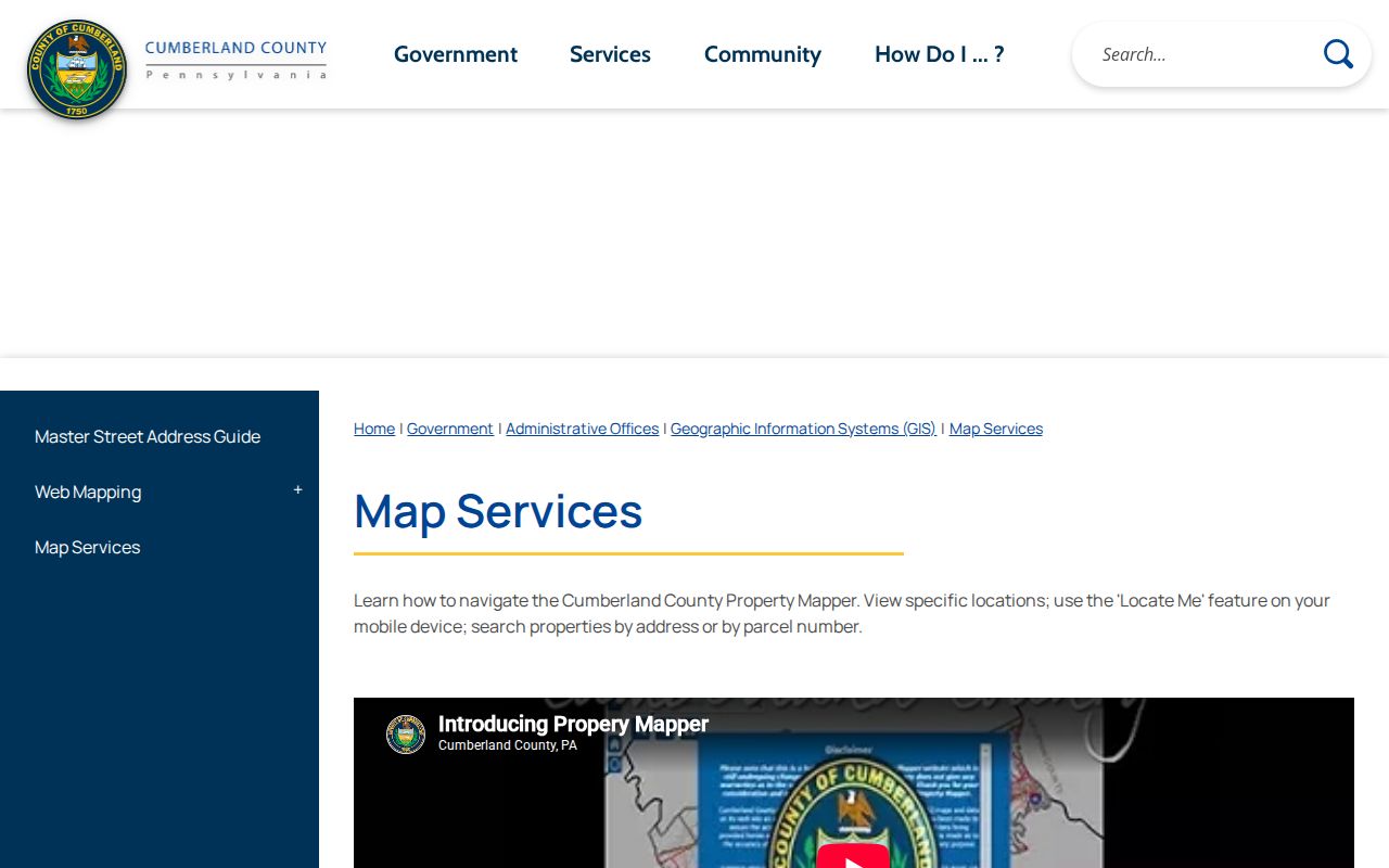
The mapping guide supports an address-first street directory workflow, but it does not convert parcel data into a resident list.
Hampden Township Street Addresses
A situs address places land. A mailing address receives tax notices and can be different. Cumberland County warns that its online property sources do not show every owner mailing address, so Tax Assessment is the right counter channel when the online display does not answer that narrower question. A legal description, subdivision lot or block, and PIN are separate identifiers. They protect a Hampden Township street directory search from joining the wrong parcel merely because a street name looks familiar.
- Parcel or PIN
- A county identifier for the land selected in the mapper.
- Situs address
- The physical location of the land, distinct from a mailing address.
- Plat
- A recorded map showing subdivision lots or boundaries; use the recorded source for its meaning.
- Criss-cross directory
- An address-oriented directory, although a local run and years were not verified here.
Hampden Township Deed Index
The Recorder’s land records carry the street directory beyond the map. Cumberland states that deeds reach 1750, mortgages 1973, and miscellaneous documents 1956. Landex is its designated subscription access route, while the Recorder’s office is the counter alternative. Search a present owner as a grantee, record the prior grantor and legal description, then compare that description with the parcel before taking the next step. This creates a recorded-owner trail, not an occupancy claim.
Use the Cumberland County Recorder of Deeds for coverage and counter information.

The Landex access screen marks the entry to indexed recorded documents. Image and search details should be confirmed through the Recorder when the web route does not resolve a link.
Hampden Township Permit Files
Hampden Township Community Development permit forms are a local address-record layer. The sign-permit form includes fields for township location and property owner, as well as project and contractor details. That makes an existing permit file worth asking about through the municipal counter when a request identifies the address, record class, date range, and permit number if known. Research did not locate a public searchable township permit or code-case database. A form is evidence of what an applicant supplies, not evidence that a listed individual is a current resident.
Note: Request the specific existing permit record from the proper custodian, because disclosures and redactions depend on the file and the Pennsylvania Right-to-Know Law.
Hampden Township Street Records
Address-keyed sources answer different parts of a Hampden Township street directory question. The parcel map provides land context. The Recorder supplies recorded transactions. The elections office has a supervised-inspection and request route, not a public street browser. Township permit files may identify project participants when disclosable, but no online database was verified. Historical directories and tax lists can add context only after the exact collection and year are confirmed. Treat the record label precisely, especially when an owner, mailing recipient, and current household may be different people.
| Record Set | Keeper | What It Shows | Access |
|---|---|---|---|
| Property Mapper | Cumberland County | Parcel location and selected assessment information | Public address/PIN map |
| Tax Assessment | Cumberland County | Assessment and mailing-address questions | Counter at 2 Courthouse Square |
| Recorder and Landex | Recorder of Deeds | Recorded parties and legal descriptions | Subscription access or counter |
| Voter registration records | Bureau of Elections | Individual-status or supervised inspection route | Request and use limits apply |
| Permit file | Township Community Development | Supplied project/address information | Counter or records-request path |
Use the parcel/PIN to tie assessment data to the deed chain and to describe a request for an address file. Use the street name as a locating detail, not as the only identifier. The state voter-status web tool is individual-focused, and the county’s public-inspection rule does not create a public street-by-street roster.
Pennsylvania’s statewide voter-list request form has a different, controlled route. It describes a full export that may include voter identity and registration fields, but it requires certification and cites 25 Pa.C.S. §§ 1207(b) and 1404(c)(2). Its listed price is $20 for any county or all counties. Ask Cumberland Elections for current instructions, scope, and lawful-purpose requirements rather than treating a parcel’s location as authority to browse registered voters along the road.
Hampden Township Street History
When the recorded trail stops online, historical street context comes through the Cumberland County Historical Society and County Archives. CCHS is a closed-stack research library with maps, tax lists, city directories, census material, newspapers, church and cemetery records, and manuscripts. County Archives Local Listings covers inactive permanent county records dated 1750 to 1950, with an appointment path for unscanned material. Exact reverse or criss-cross directory years were not verified, so request the catalog or collection name rather than representing a historical street listing as a known run.
CCHS is at 21 N. Pitt Street in Carlisle and offers catalog aids, staff or volunteer help during open hours, and paid remote research. A nonmember daily visit costs $5, but a special Cumberland County Library System pass can provide no-charge Society-resource use. County Archives is at 310 Allen Road Annex, open Monday from 10:00 a.m. to 4:00 p.m. or by appointment. Those are separate, useful counter channels when the online street record does not reach the relevant period.
Start with Cumberland County Archives Local Listings for the county record group, then use CCHS for collection confirmation.
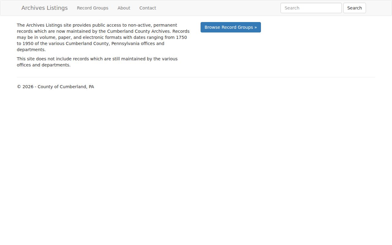
The Archives listing is a finding tool. It helps locate the right record group before an appointment or a request for an unscanned item.
Hampden Township Street Labels
Postal geography adds another check to a street directory search. Official Hampden polling locations use Mechanicsburg 17050 for several precinct locations and Camp Hill 17011 for others, including locations on St. Johns Church Road and Carlisle Pike. Those labels do not determine a municipal boundary. Verify the parcel in the county map, then confirm the exact delivery ZIP with USPS. The PennDOT township map also names Mount Zion, Good Hope Mill, and Sporting Hill, which can be useful map terms without proving they are standalone directory headings.
The county’s Hampden polling-place list illustrates the postal-label variation.
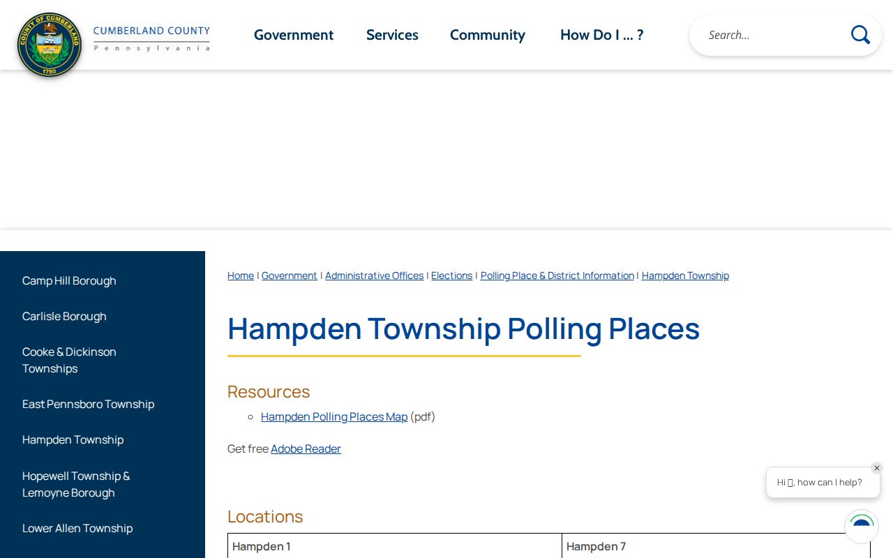
The precinct list supplies geography context, not evidence that any particular person lives at a nearby street address.
Hampden Township Name Checks
A street directory search sometimes produces a name that needs separate verification. Public court dockets are searched by party information and case identifiers, not as an address browser. The statewide UJS Case Search can be narrowed by court or county and its documented search fields include participant name, docket or case number, date range, case status, case type, and court level. Cumberland’s OnBase civil access is another route for civil filings, with free docket entries and documents at $0.08 per page.
Neither source confirms who lives on a Hampden Township street. Juvenile, sealed, expunged, limited-access, and destroyed records can be absent. Use a matching name only with a court, docket, date, and other identifier that the public record actually shows.
Hampden Township Street Limits
A Hampden Township street directory cannot establish every person who lives at an address. Renters, other household members, unrecorded moves, utility accounts, motor-vehicle personal information, and protected addresses are not turned into a public street list by the parcel map. The federal Driver’s Privacy Protection Act restricts motor-vehicle personal information. Pennsylvania’s Address Confidentiality Program can substitute an address for qualifying victims in certain state, court, and voter records. Report a source as a recorded owner or tax mailing recipient when that is what it says.
Lawful use. Use Hampden Township street records for lawful personal, family-history, property, or civic research. Do not use an address result to stalk, harass, intimidate, or harm anyone.