
Hampden Township Neighbors Block Sources
The immediate block around a Hampden Township address can be approached through land, recorded-document, election, permit, and historical channels. Each has a narrow use. Property Mapper identifies parcel geometry and selected assessment information. Recorder records can establish parties to transactions. Election records are public under supervised inspection rules, but the state tool is not a public street browser. The remaining sources can supply only the specific context they actually hold.
| Source | What It Shows About a Block | Access |
|---|---|---|
| Cumberland County Property Mapper | Adjacent land parcels, map location, and selected assessment information. | Public map; parcel information does not identify every household. |
| Recorder records | Recorded owners and transactions for adjacent parcels. | Landex subscription service or Recorder counter; compare legal descriptions. |
| Cumberland elections office | Public voter-registration records through supervised inspection or a lawful request route. | No verified public street-browsing tool. |
| Hampden Township permit file | Address-specific project participant information if the requested record is disclosable. | Counter or Right-to-Know request route; no searchable permit database was verified. |
| CCHS and County Archives | Maps, directories, tax lists, and older county-record context. | Catalog, appointment, staff, or counter channels depending on the item. |
| Community-directory layer | No verified public HOA, neighborhood, civic-council, congregation, or block-watch roster was located. | Do not treat an unverified roster as a public record. |
Start with the smallest defensible question: which parcels touch or sit near the starting parcel? That approach avoids turning a property record into an unsupported statement about current Hampden Township neighbors.
Mapping Hampden Township Neighbor Parcels
The county's Property Mapper supports the adjacent-parcel method. It is a map workflow, not a radius search. Find the starting parcel with a street number plus street name or a PIN, retain the parcel boundaries while zooming, then click nearby parcel geometries one at a time. County guidance confirms address and PIN searching, map navigation, and a selected parcel panel with assessment information. No dedicated radius, buffer, or neighbors control is verified.
- Enter the starting street number and street name, or PIN, in the Property Mapper Search Bar.
- Select the starting parcel and record its PIN, map position, and the assessment information displayed in the left panel.
- Zoom out while keeping parcel boundaries visible, then click nearby parcel geometries individually.
- Record each parcel separately before comparing it to the starting parcel. The map identifies land, not current households.
- Use the Recorder trail only when a recorded owner or transaction is needed for a particular parcel.
The full named-street process belongs to the Hampden Township street directory. For a short block question, the individual parcel method keeps the inquiry tied to the immediate area.
Hampden Township Neighbor Panel Details
The county's Map Services page says a selected parcel opens in a left-hand panel with assessment data and that the print widget can create a map with selected assessment information. It also identifies 2024 imagery as the default base map and advertises seven prior imagery years. Older imagery can help place visible changes in time, but it does not identify a person or prove the date of a move.
Use the panel as a parcel-notes tool. Capture the selected parcel, assessment context, and any sales comparison information that the county makes visible. Do not turn a selected panel into a roster of neighbors. A parcel map describes land; the connection between land and a current household may be unknown or may change without a recorded sale.
The county mapping guidance documents the address, parcel, imagery, and print functions shown here.
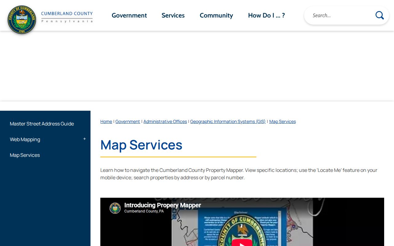
The map view is most useful when it preserves the boundary relationship among the starting parcel and the nearby parcels being checked.
Hampden Township Neighbors Ownership Trail
When an adjacent parcel needs a transaction history, move from its PIN and legal description to the Recorder of Deeds. Cumberland directs users to Landex for records access and also provides a Recorder counter route. The county states that deeds begin in 1750, mortgages in 1973, and miscellaneous documents in 1956. Those categories identify recorded-document coverage, not a list of present occupants.
For each parcel, compare the recorded legal description, subdivision or lot wording, and PIN with the selected map parcel before linking a transaction to the block. Identical-looking street addresses can conceal changed parcel boundaries. A recorded owner is not necessarily a current resident, and a map selection alone does not resolve that difference. Use the terms "recorded owner" and "recorded transaction" precisely in notes.
Note: The Recorder's online access is described as a subscription service, while the office remains the fallback for record review.
Hampden Township Mailing Address Limits
The county warns that its online property sources do not show every owner mailing address. A situs address identifies where a parcel sits. A mailing address, when held with the tax account, directs notices and can be somewhere else. Neither field tells who currently occupies the property. This distinction matters when comparing parcels around a block because the familiar street label may point to land rather than a contact address.
For existing assessment or mailing-address context, contact Cumberland County Tax Assessment at 2 Courthouse Square in Carlisle, 717-240-6350. Ask staff about the available record and the proper access route instead of inferring a mailing address from an incomplete online display. The county's property directions make the limitation explicit, so a blank web field should not be treated as proof that no mailing information exists.
Hampden Township Voter Access Limits
Pennsylvania's online voter-registration status tool is an individual-status channel. It is not a way to browse a block by street. The Cumberland County Elections Office says voter-registration records are public documents available for inspection under the supervision of election-office staff. That means a valid request begins with the office's current instructions, scope, and lawful purpose, not a guess based on nearby address data.
The Bureau of Elections is at 1601 Ritner Highway, Suite 201, Carlisle, PA 17013, and can be reached at 717-240-6385 during weekday hours of 8 a.m. to 4:30 p.m. The state voter-list request form sets its own certification and terms under 25 Pa.C.S. §§ 1207(b) and 1404(c)(2). It is not a public neighborhood browser, and a polling place is only geographic context, never proof of a person's residence.
The county's Hampden Township precinct page shows why postal labels need care: official precinct locations use both Mechanicsburg 17050 and Camp Hill 17011 addresses.
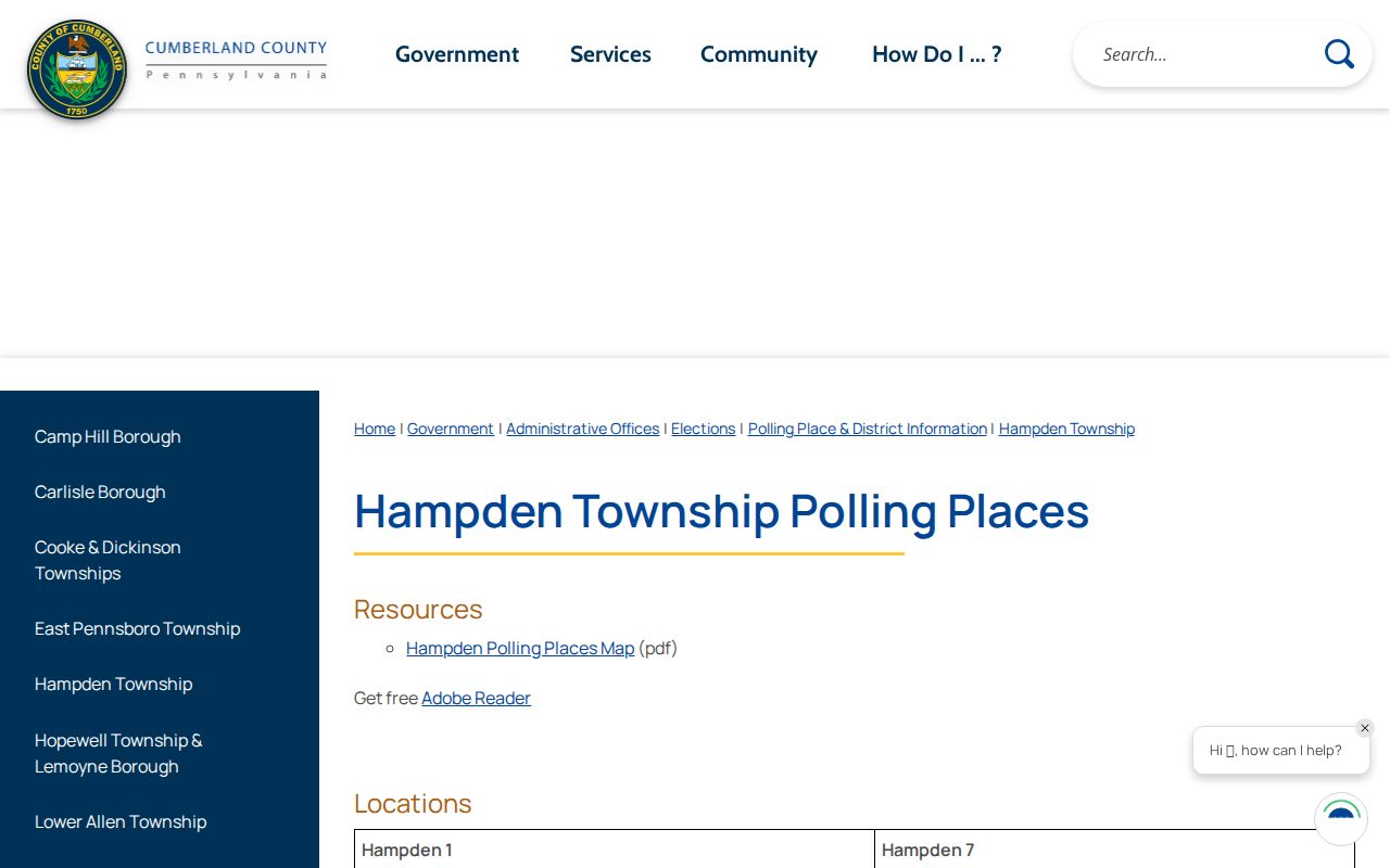
Those postal-place labels help describe local geography but cannot establish the residents of a nearby parcel.
Hampden Township Permit Record Limits
Township Community Development forms show that permit material can be address-specific. A disclosable file may identify project participants associated with that particular address, but the research did not verify a searchable online permit database or a general block lookup. The proper route is the township counter or a focused Pennsylvania Right-to-Know Law request for an existing record.
Keep a permit request narrowly tied to the address, record type, and time period. A permit record is not a community directory, and it does not establish every person associated with a parcel. The Pennsylvania Right-to-Know Law, 65 P.S. §§ 67.101-67.3104, ordinarily gives an agency five business days to respond under § 67.901, subject to the law's rules and extensions.
Hampden Township Neighbors Historical Context
For an earlier block, CCHS and County Archives offer context that the current parcel panel cannot. The Cumberland County Historical Society has maps, tax lists, city directories, county histories, newspapers, genealogical material, and manuscripts in its closed-stack research library at 21 N. Pitt Street in Carlisle. Ask staff to confirm the exact community heading, address variant, map, tax list, or directory before relying on a claimed year run. Hampden material can appear under Mechanicsburg, Camp Hill, Carlisle, a rural route, or a nearby settlement.
County Archives Local Listings cover permanent county-office material dated 1750 through 1950, with an appointment route for items that are not scanned. The Archives is at 310 Allen Road Annex in Carlisle and lists Monday public hours from 10 a.m. to 4 p.m., or access by appointment. These sources can clarify earlier street and parcel context, but they do not create a verified roster for the modern block.
Hampden Township Roster Myth
No verified official roster for a Hampden Township HOA, neighborhood association, civic council, congregation, or block-watch group was located in the research. That absence matters. Do not assume a subdivision name on a map comes with a public member directory, and do not substitute an informal online list for a permission-based or official contact source. Only an association's own published contact directory or roster with permission would establish that layer.
| Community-directory check | Verified result |
|---|---|
| HOA or neighborhood association roster | No verified public roster located. |
| Civic council, congregation, or block-watch roster | No verified public roster located. |
| Appropriate contact path | Use an official organization contact only after it publishes an authorized directory or permission-based roster. |
Commercial neighbor-lookup tools and official land sources do different things. A commercial category may compile records from many places, often with unclear timing or source detail. County sources identify a particular parcel, assessment context, or recorded transaction and make their access boundaries clearer.
| Official land sources | Commercial neighbor-lookup category |
|---|---|
| Property Mapper, Tax Assessment, Recorder, and Archives identify particular public-record channels and their limits. | May combine data from varied sources, but a displayed connection needs confirmation with the relevant custodian. |
| Parcel boundaries and recorded documents can be checked against a PIN and legal description. | Category results do not replace a parcel boundary, recorded document, or supervised inspection process. |
Hampden Township Neighbors Privacy Limits
Public access has real boundaries. A parcel map identifies land, not every current household. Recorded ownership may differ from residency. Voter access follows supervised-inspection or request rules, and an address-specific permit file may contain only the information that is lawfully disclosable. If a record appears inaccurate, the appropriate response is to contact the custodian, such as Tax Assessment, Elections, the Recorder, or the township office.
Pennsylvania's verified privacy option is the Address Confidentiality Program. It provides an alternative address for qualifying victims and may be used in voter registration and certain court or state records. It is part of a safety plan and does not create a public lookup path.
Lawful use. Hampden Township neighbor research is for understanding the block, reconnecting, and civic curiosity. Do not use records to watch, harass, intimidate, or harm anyone.